🎉 Up to 70% Off Selected ItemsShop Sale
1 / 3
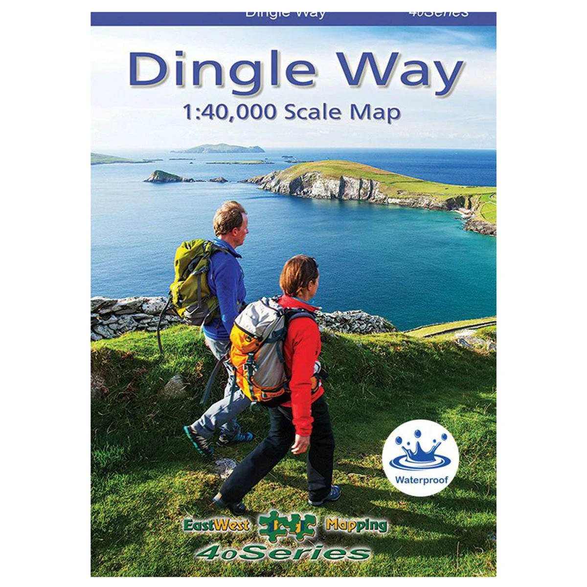
Dingle Way 1:40k Map
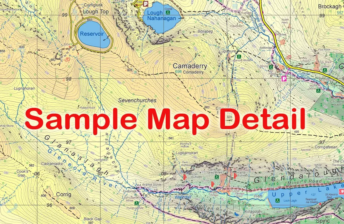
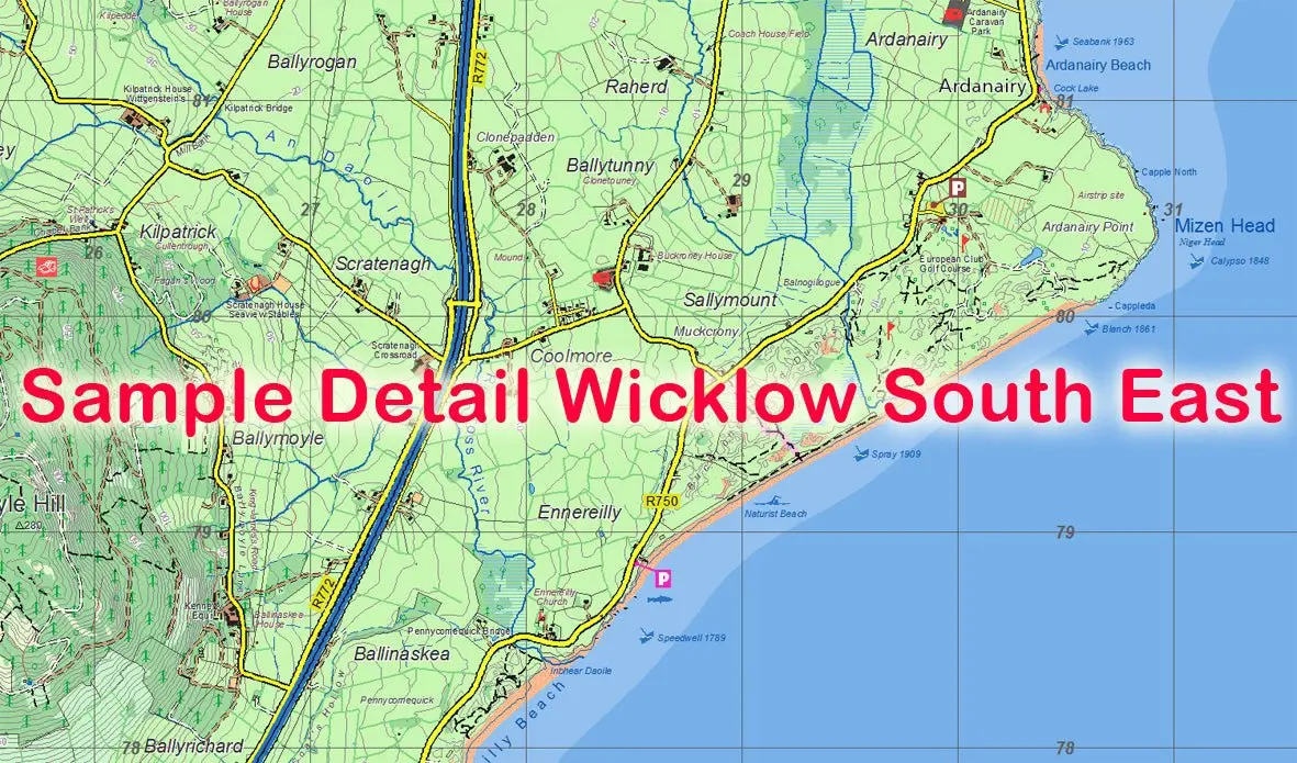
The Dingle Way 1:40,000 Map from East West Mapping covers the full Dingle peninsula, tailored to show the 182 km Dingle Way and other walking routes.
Features
- Detailed map at 1:40,000 scale
- 10 metre contour interval
- Dingle Way marked with distances every 2 km
- Services including accommodation, cafes, pubs, shops, and tourist information
- Printed on both sides with overlapping map detail
- Waterproof Polyart 90gsm paper
- Supplied in a plastic pocket
$5.83
Original: $19.43
-70%Dingle Way 1:40k Map—
$19.43
$5.83Description
The Dingle Way 1:40,000 Map from East West Mapping covers the full Dingle peninsula, tailored to show the 182 km Dingle Way and other walking routes.
Features
- Detailed map at 1:40,000 scale
- 10 metre contour interval
- Dingle Way marked with distances every 2 km
- Services including accommodation, cafes, pubs, shops, and tourist information
- Printed on both sides with overlapping map detail
- Waterproof Polyart 90gsm paper
- Supplied in a plastic pocket