Explorer OL4 - The Lake District: North-western area 1:25,000
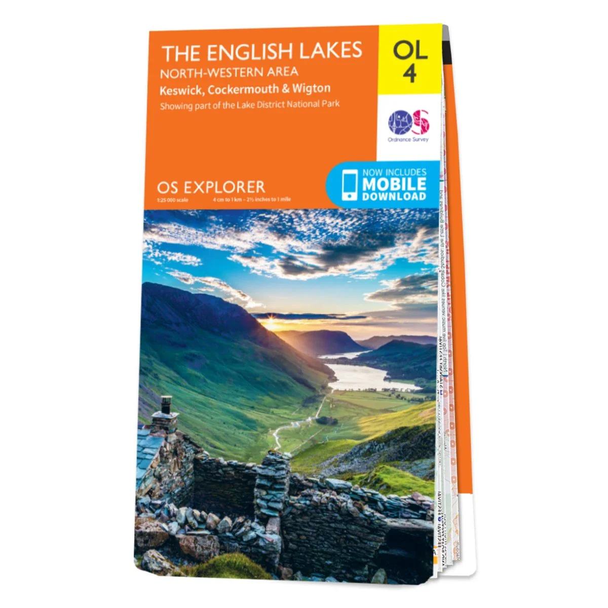
Explore The English Lakes' spectacular North-West area with the OS Explorer Map OL4. This 1:25,000 large-scale map offers detailed information, helping you to navigate the Catbells walk, take in the views of Derwent Water, and climb Skiddaw — the sixth highest peak in England. Packed with features, including a free digital download, and available in standard or Weatherproof Active, this map is the perfect companion while day-tripping, hiking, or cycling.
Explore The English Lakes' spectacular North-West area with the OS Explorer Map OL4. This 1:25,000 large-scale map offers detailed information, helping you to navigate the Catbells walk, take in the views of Derwent Water, and climb Skiddaw — the sixth highest peak in England. Packed with features, including a free digital download, and available in standard or Weatherproof Active, this map is the perfect companion while day-tripping, hiking, or cycling.
Description
Explore The English Lakes' spectacular North-West area with the OS Explorer Map OL4. This 1:25,000 large-scale map offers detailed information, helping you to navigate the Catbells walk, take in the views of Derwent Water, and climb Skiddaw — the sixth highest peak in England. Packed with features, including a free digital download, and available in standard or Weatherproof Active, this map is the perfect companion while day-tripping, hiking, or cycling.