🎉 Up to 70% Off Selected ItemsShop Sale
1 / 2
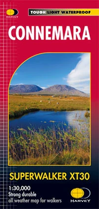
Connemara XT30 1:30K Map
Explore Connemara National Park with this detailed 1:30,000 scale map, featuring the Twelve Bens and the Maumturks. Ideal for hillwalkers and adventure enthusiasts.
Features
- Detailed Coverage: Includes the Twelve Bens and the Maumturks.
- National Park Focus: Perfect for exploring Connemara National Park.
- Inset of Clifden: Provides additional details for Clifden area.
- Bilingual Names: Gaelic and English names for ease of navigation.
- Major Access Routes: Clearly marked for convenience.
- Mountain Rescue Approved: Used by Mountain Rescue Ireland.
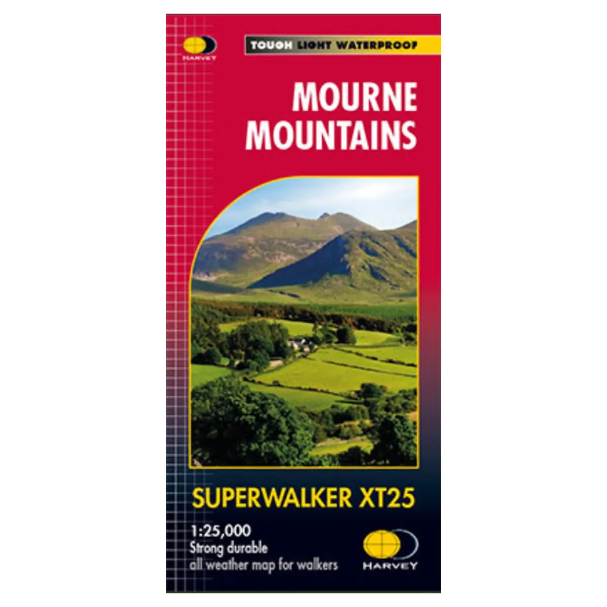
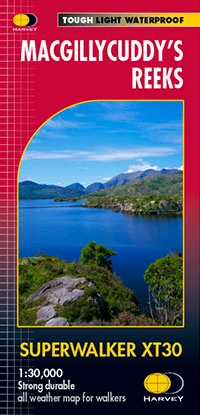
- Durable and Waterproof: Tough, light, and 100% waterproof.
- HARVEY Quality: Genuine, original mapping from HARVEY.
- Easy Handling: Opens directly to either side and is easy to re-fold.
Explore Connemara National Park with this detailed 1:30,000 scale map, featuring the Twelve Bens and the Maumturks. Ideal for hillwalkers and adventure enthusiasts.
Features
- Detailed Coverage: Includes the Twelve Bens and the Maumturks.
- National Park Focus: Perfect for exploring Connemara National Park.
- Inset of Clifden: Provides additional details for Clifden area.
- Bilingual Names: Gaelic and English names for ease of navigation.
- Major Access Routes: Clearly marked for convenience.
- Mountain Rescue Approved: Used by Mountain Rescue Ireland.
- Durable and Waterproof: Tough, light, and 100% waterproof.
- HARVEY Quality: Genuine, original mapping from HARVEY.
- Easy Handling: Opens directly to either side and is easy to re-fold.
$7.54
Original: $25.14
-70%Connemara XT30 1:30K Map—
$25.14
$7.54Description
Explore Connemara National Park with this detailed 1:30,000 scale map, featuring the Twelve Bens and the Maumturks. Ideal for hillwalkers and adventure enthusiasts.
Features
- Detailed Coverage: Includes the Twelve Bens and the Maumturks.
- National Park Focus: Perfect for exploring Connemara National Park.
- Inset of Clifden: Provides additional details for Clifden area.
- Bilingual Names: Gaelic and English names for ease of navigation.
- Major Access Routes: Clearly marked for convenience.
- Mountain Rescue Approved: Used by Mountain Rescue Ireland.
- Durable and Waterproof: Tough, light, and 100% waterproof.
- HARVEY Quality: Genuine, original mapping from HARVEY.
- Easy Handling: Opens directly to either side and is easy to re-fold.