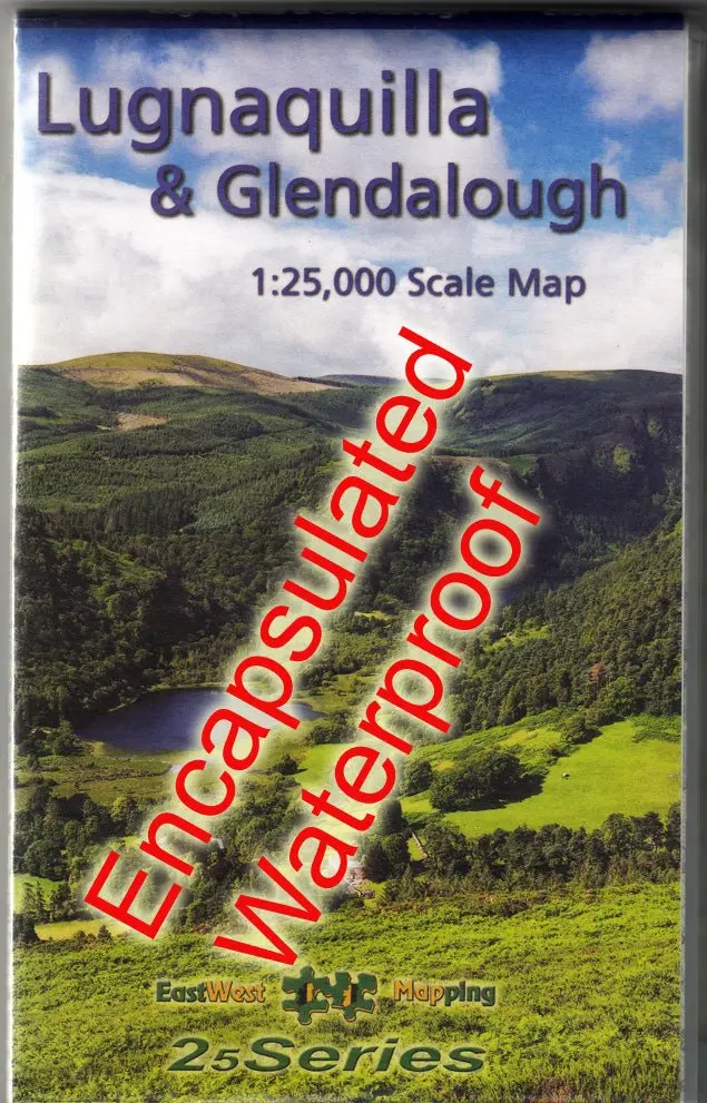
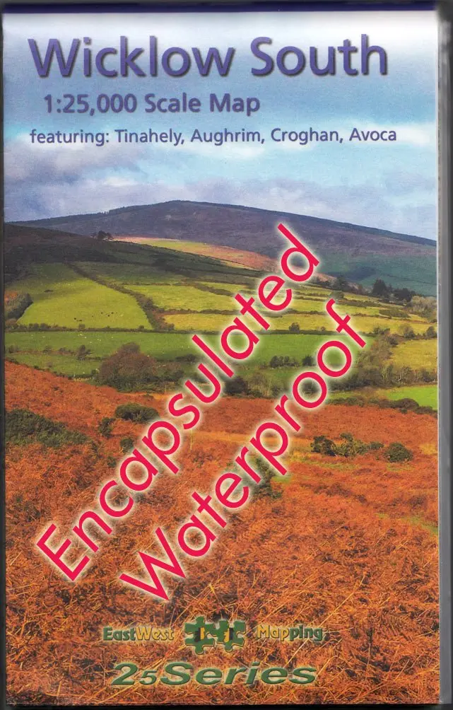
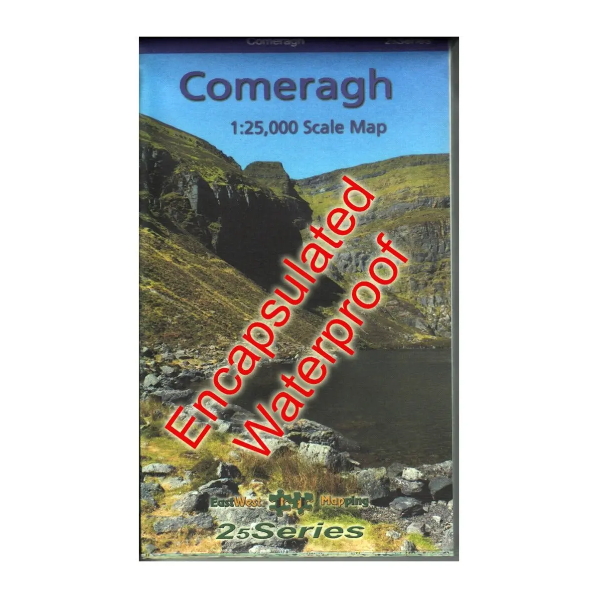
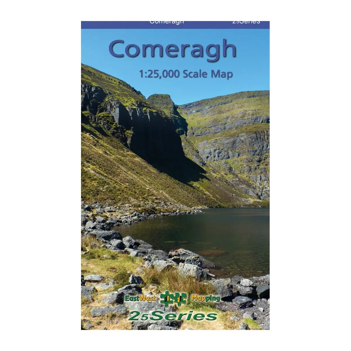
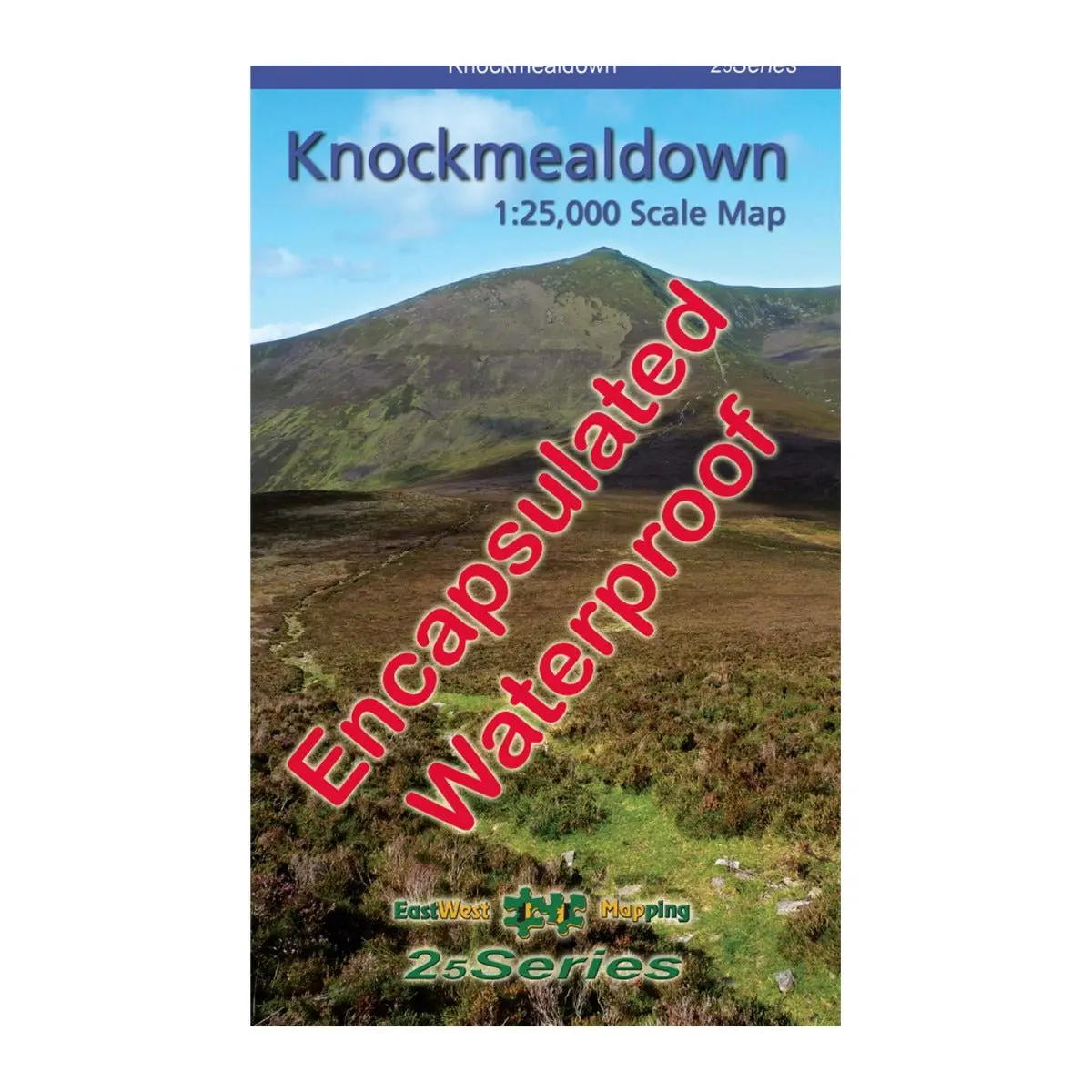
Knockmealdown Waterproof 1:25000 Polyart
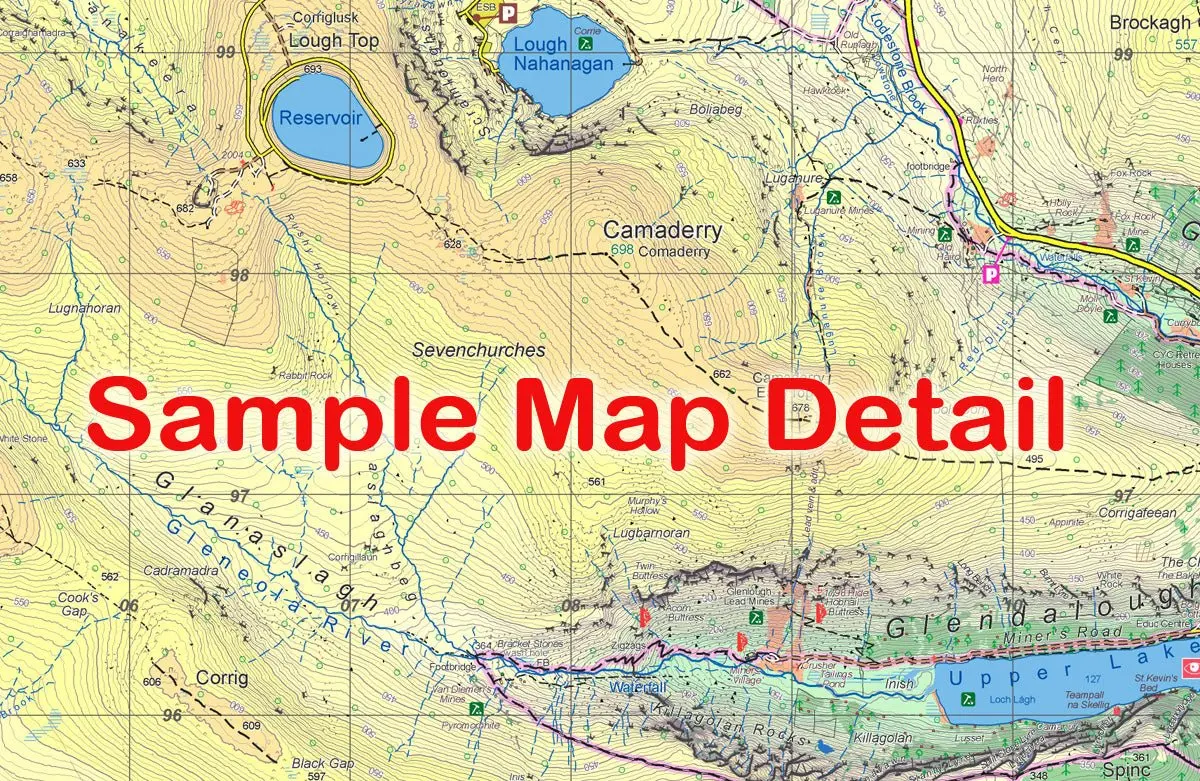
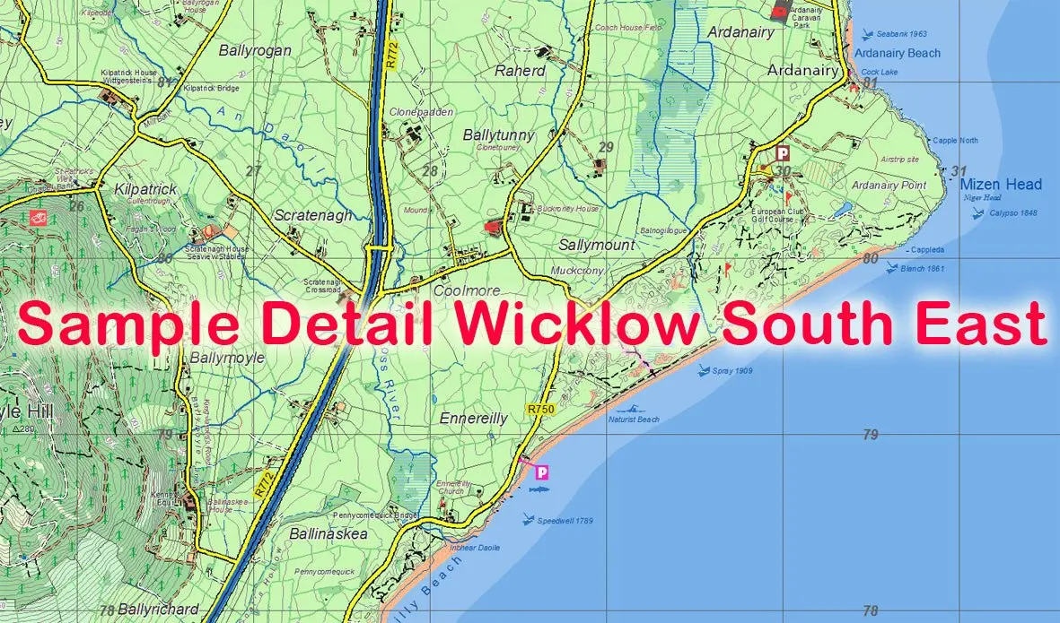
The Knockmealdown 1:25,000 Waterproof Map offers exceptional detail for exploring the Knockmealdown Mountains and surrounding valleys, towns and trails. Printed on durable Polyart, it provides reliable, weatherproof navigation for walkers, hikers and local explorers. Rich with researched placenames, contours and trail information, it’s built for precision in the field.
Features
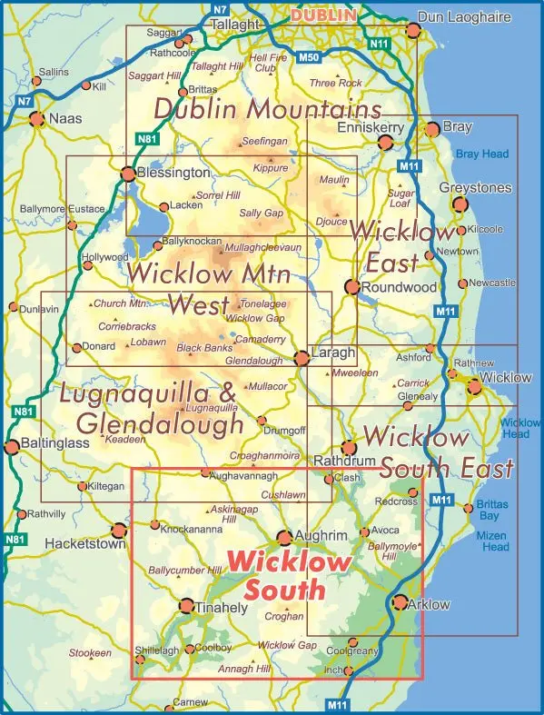
- Definitive 1:25,000 scale map covering 550 sq km of the Knockmealdown region
- Fully waterproof, tear‑resistant Polyart construction
- 5‑metre contour interval for fine‑grained navigation
- Includes signposted walking trails, greenways and key access points
- Extensive local placename research and cultural detail
- Lightweight, flexible and highly durable for outdoor use
- Folded to a compact, pack‑friendly size (125 × 205 mm)
- Covers from Nire Valley to Ballyporeen and Lismore to Ardfinnan
The Knockmealdown 1:25,000 Waterproof Map offers exceptional detail for exploring the Knockmealdown Mountains and surrounding valleys, towns and trails. Printed on durable Polyart, it provides reliable, weatherproof navigation for walkers, hikers and local explorers. Rich with researched placenames, contours and trail information, it’s built for precision in the field.
Features
- Definitive 1:25,000 scale map covering 550 sq km of the Knockmealdown region
- Fully waterproof, tear‑resistant Polyart construction
- 5‑metre contour interval for fine‑grained navigation
- Includes signposted walking trails, greenways and key access points
- Extensive local placename research and cultural detail
- Lightweight, flexible and highly durable for outdoor use
- Folded to a compact, pack‑friendly size (125 × 205 mm)
- Covers from Nire Valley to Ballyporeen and Lismore to Ardfinnan
Original: $22.86
-70%$22.86
$6.86Description
The Knockmealdown 1:25,000 Waterproof Map offers exceptional detail for exploring the Knockmealdown Mountains and surrounding valleys, towns and trails. Printed on durable Polyart, it provides reliable, weatherproof navigation for walkers, hikers and local explorers. Rich with researched placenames, contours and trail information, it’s built for precision in the field.
Features
- Definitive 1:25,000 scale map covering 550 sq km of the Knockmealdown region
- Fully waterproof, tear‑resistant Polyart construction
- 5‑metre contour interval for fine‑grained navigation
- Includes signposted walking trails, greenways and key access points
- Extensive local placename research and cultural detail
- Lightweight, flexible and highly durable for outdoor use
- Folded to a compact, pack‑friendly size (125 × 205 mm)
- Covers from Nire Valley to Ballyporeen and Lismore to Ardfinnan