🎉 Up to 70% Off Selected ItemsShop Sale
1 / 2
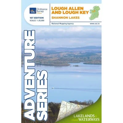
OSI Adventure Series 1:25K Map - Lough Allen & Lough Key
Explore the scenic Shannon River with the OSI Adventure Series 1:25K Map - Lough Allen & Lough Key. Ideal for hiking, cycling, and outdoor adventures, it ensures you never lose your way.
Features:
- Detailed topographic map at a 1:25,000 scale
- Covers Lough Allen and Lough Key extending to Carrick-on-Shannon
- Includes counties Leitrim, Roscommon, and parts of Cavan and Sligo
- Depicts National Roads, Secondary Roads, Regional Roads, Waymarked Walks, Tracks, Trails, and Cycle Routes
- Features Forestry, Land Terrain, Spot Heights, Contours, Named Antiquities, Local Amenities, National Parks, Lakes, Rivers, and Streams
- Printed on water-resistant paper for enhanced durability
- Compatible with two Discovery maps: Sheet 26 (north) and Sheet 33 (south)
$4.80
Original: $16.00
-70%OSI Adventure Series 1:25K Map - Lough Allen & Lough Key—
$16.00
$4.80Description
Explore the scenic Shannon River with the OSI Adventure Series 1:25K Map - Lough Allen & Lough Key. Ideal for hiking, cycling, and outdoor adventures, it ensures you never lose your way.
Features:
- Detailed topographic map at a 1:25,000 scale
- Covers Lough Allen and Lough Key extending to Carrick-on-Shannon
- Includes counties Leitrim, Roscommon, and parts of Cavan and Sligo
- Depicts National Roads, Secondary Roads, Regional Roads, Waymarked Walks, Tracks, Trails, and Cycle Routes
- Features Forestry, Land Terrain, Spot Heights, Contours, Named Antiquities, Local Amenities, National Parks, Lakes, Rivers, and Streams
- Printed on water-resistant paper for enhanced durability
- Compatible with two Discovery maps: Sheet 26 (north) and Sheet 33 (south)