🎉 Up to 70% Off Selected ItemsShop Sale
1 / 2
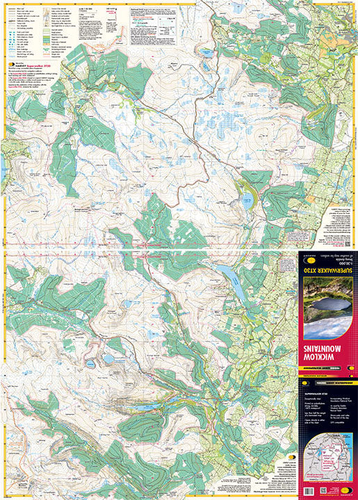
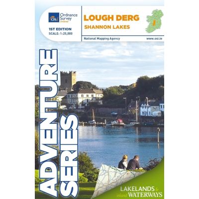
OSI Adventure Series 1:25K Map - Lough Derg
Discover the natural beauty and recreational opportunities of Lough Derg with the OSI Adventure Series 1:25K Map. Ideal for hikers, boaters, and outdoor enthusiasts.
Features:
- Detailed 1:25,000 scale mapping of Lough Derg and surrounding areas.
- Covers sections of the Shannon River from Portumna to Killaloe, including towns such as Terryglass, Mountshannon, and Scarriff.
- Highlights bays and harbors like Portumna Bay, Terryglass Harbour, and Scarriff Bay.
- Includes numerous islands: Illaunmore, Iniscaltra, Spa Island North and South, Goat Island, Rabbit Island.
- Features key navigation aids: Navigation Channels, Navigation Markers, Slipways, Mooring Points, Locks.
- Information on water sports and boat hire locations.
- Numerous walking and cycling trails: East Clare Way, Lough Derg Way, Nenagh Cycle Hub Loops, Ballycuggaran Loop, and more.
- Special insert for Nenagh with detailed town layout.
- Compatible with Discovery Series maps (Sheets 53, 58, and 59).
$4.80
Original: $16.00
-70%OSI Adventure Series 1:25K Map - Lough Derg—
$16.00
$4.80Description
Discover the natural beauty and recreational opportunities of Lough Derg with the OSI Adventure Series 1:25K Map. Ideal for hikers, boaters, and outdoor enthusiasts.
Features:
- Detailed 1:25,000 scale mapping of Lough Derg and surrounding areas.
- Covers sections of the Shannon River from Portumna to Killaloe, including towns such as Terryglass, Mountshannon, and Scarriff.
- Highlights bays and harbors like Portumna Bay, Terryglass Harbour, and Scarriff Bay.
- Includes numerous islands: Illaunmore, Iniscaltra, Spa Island North and South, Goat Island, Rabbit Island.
- Features key navigation aids: Navigation Channels, Navigation Markers, Slipways, Mooring Points, Locks.
- Information on water sports and boat hire locations.
- Numerous walking and cycling trails: East Clare Way, Lough Derg Way, Nenagh Cycle Hub Loops, Ballycuggaran Loop, and more.
- Special insert for Nenagh with detailed town layout.
- Compatible with Discovery Series maps (Sheets 53, 58, and 59).