🎉 Up to 70% Off Selected ItemsShop Sale
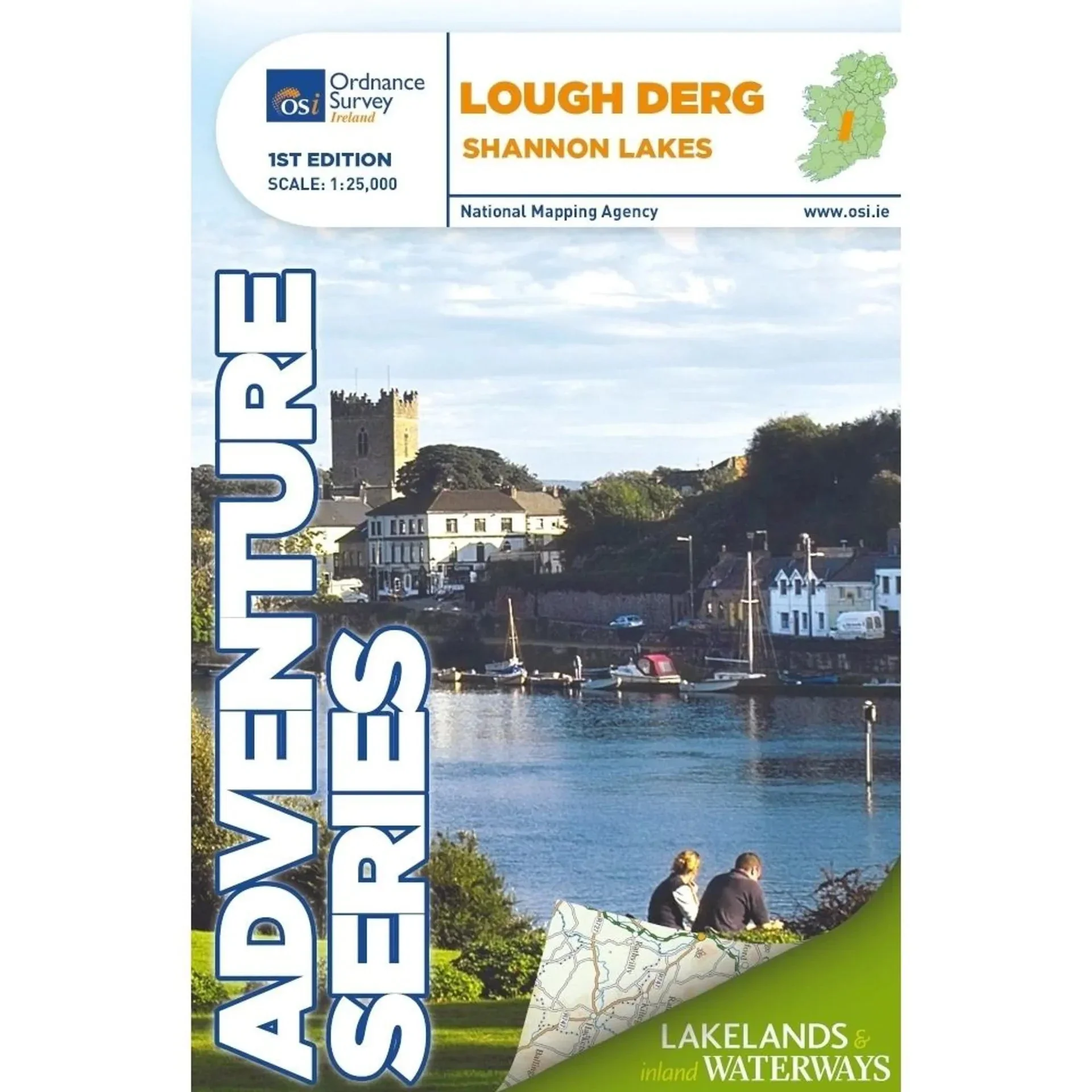
OSI Adventure Series 1:25K Laminated Map - Lough Derg
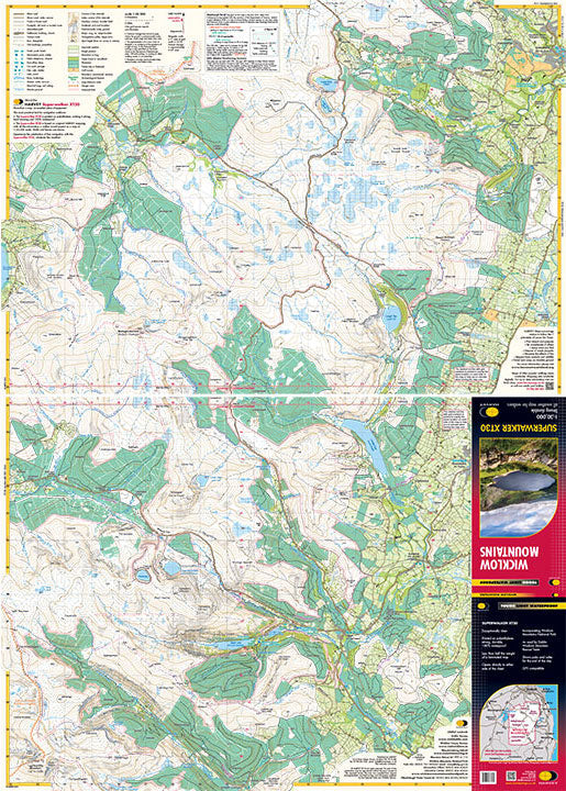
Explore the stunning landscapes of Lough Derg with the OSI Adventure Series 1:25K Laminated Map, featuring detailed navigation channels, trails, and points of interest.
Features:
- High-detail 1:25,000 scale for accurate navigation
- Covers Shannon River from Portumna to Killaloe, County Clare, and Ballina, County Tipperary
- Includes major towns: Portumna, Terryglass, Borrisokane, Mountshannon, Dromineer, Scarriff, Ballina, and Killaloe
- Special inset for Nenagh with detailed information
- Bays and harbours: Portumna Bay, Terryglass Harbour, Nutgrove Harbour, Dromineer Bay, Mountshannon Bay, Scarriff Bay
- Numerous islands: Illaunmore, Iniscaltra, Spa Island North and South, Goat Island, Rabbit Island
- Detailed river features including River Shannon, River Nenagh, and various navigation markers
- Boat hire and water sports emphasis with slipways, mooring points, and locks
- Multiple walking and cycling trails: Forest Friendly Trail, East Clare Way, Nenagh Cycle Hub Loop 01/02/03, Lough Derg Way, Ballycuggaran Loop, Crag Wood Walk, Arra Mountain Loop, Graves of the Leinster Men Loop
- Laminated for durability and weather resistance
$10.29
Original: $34.29
-70%OSI Adventure Series 1:25K Laminated Map - Lough Derg—
$34.29
$10.29Description
Explore the stunning landscapes of Lough Derg with the OSI Adventure Series 1:25K Laminated Map, featuring detailed navigation channels, trails, and points of interest.
Features:
- High-detail 1:25,000 scale for accurate navigation
- Covers Shannon River from Portumna to Killaloe, County Clare, and Ballina, County Tipperary
- Includes major towns: Portumna, Terryglass, Borrisokane, Mountshannon, Dromineer, Scarriff, Ballina, and Killaloe
- Special inset for Nenagh with detailed information
- Bays and harbours: Portumna Bay, Terryglass Harbour, Nutgrove Harbour, Dromineer Bay, Mountshannon Bay, Scarriff Bay
- Numerous islands: Illaunmore, Iniscaltra, Spa Island North and South, Goat Island, Rabbit Island
- Detailed river features including River Shannon, River Nenagh, and various navigation markers
- Boat hire and water sports emphasis with slipways, mooring points, and locks
- Multiple walking and cycling trails: Forest Friendly Trail, East Clare Way, Nenagh Cycle Hub Loop 01/02/03, Lough Derg Way, Ballycuggaran Loop, Crag Wood Walk, Arra Mountain Loop, Graves of the Leinster Men Loop
- Laminated for durability and weather resistance