🎉 Up to 70% Off Selected ItemsShop Sale
1 / 9
+4
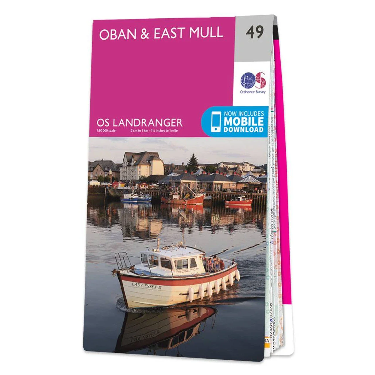
OSGB Landranger 1:50K Maps 47,48,49
Explore scenic hiking trails with OSGB Landranger 1:50K Maps. Ideal for hikers and adventurers seeking detailed topographical maps.
Features:
- Detailed Topographical Information: Accurate elevation and terrain details for effective route planning.
- Durable Material: Made from water-resistant, tear-resistant paper for durability in all weather conditions.
- Easy to Read: Clear and legible design with distinct symbols and markers.
- Updated Data: Latest data ensures up-to-date information for reliable navigation.
- Comprehensive Coverage: Covers significant hiking regions including Oban, East Mull, Iona, West Mull, Tobermory, and North Mull.
- Compact and Portable: Folds down to a convenient size for easy carrying and storage.
- Scale: 1:50,000 scale provides a detailed view of the landscape.
Select Size
Select Colour
From $4.46
Original: $14.85
-70%OSGB Landranger 1:50K Maps 47,48,49—
$14.85
$4.46Description
Explore scenic hiking trails with OSGB Landranger 1:50K Maps. Ideal for hikers and adventurers seeking detailed topographical maps.
Features:
- Detailed Topographical Information: Accurate elevation and terrain details for effective route planning.
- Durable Material: Made from water-resistant, tear-resistant paper for durability in all weather conditions.
- Easy to Read: Clear and legible design with distinct symbols and markers.
- Updated Data: Latest data ensures up-to-date information for reliable navigation.
- Comprehensive Coverage: Covers significant hiking regions including Oban, East Mull, Iona, West Mull, Tobermory, and North Mull.
- Compact and Portable: Folds down to a convenient size for easy carrying and storage.
- Scale: 1:50,000 scale provides a detailed view of the landscape.