🎉 Up to 70% Off Selected ItemsShop Sale
1 / 3
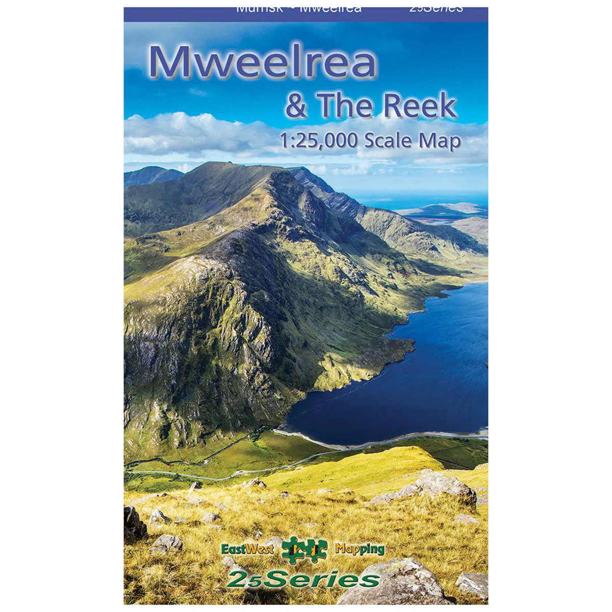
Mweelrea & The Reek 1:25k Map
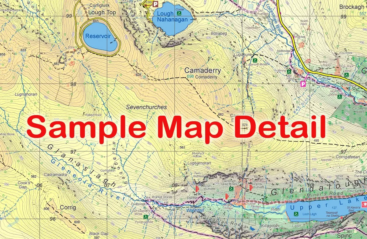
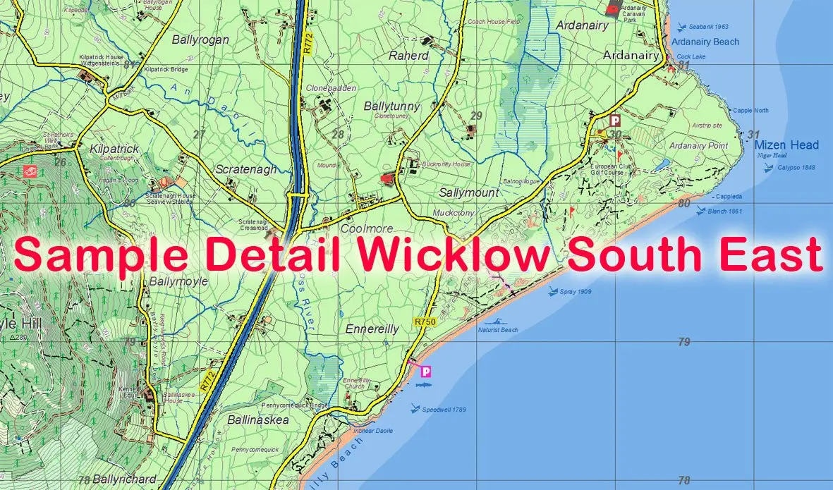
The Mweelrea & The Reek 1:25,000 Map from East West Mapping is a definitive, detailed map covering Mweelrea and the region from Killary Harbour to Clew Bay, including the Sheaffrey Hills and The Reek (Croagh Patrick).
Features
- Detailed map at 1:25,000 scale
- 5 metre contour interval for fine navigation
- Signposted walking trails depicted
- Printed on good quality Progeo 90gsm map paper
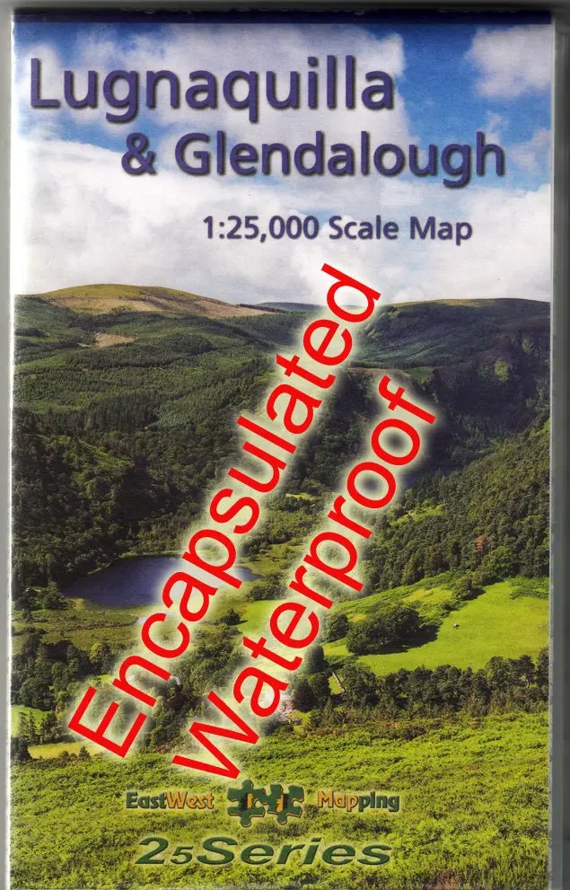
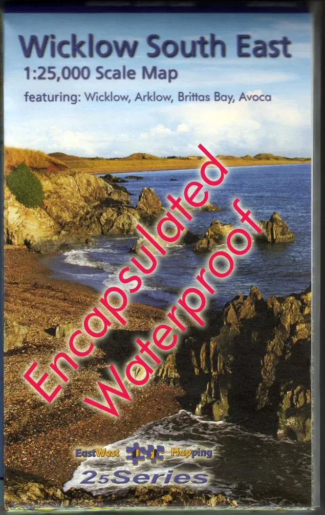
- Sold as a flat, unfolded map suited for wall display
- Also available in standard folded paper and laminated waterproof versions
The Mweelrea & The Reek 1:25,000 Map from East West Mapping is a definitive, detailed map covering Mweelrea and the region from Killary Harbour to Clew Bay, including the Sheaffrey Hills and The Reek (Croagh Patrick).
Features
- Detailed map at 1:25,000 scale
- 5 metre contour interval for fine navigation
- Signposted walking trails depicted
- Printed on good quality Progeo 90gsm map paper
- Sold as a flat, unfolded map suited for wall display
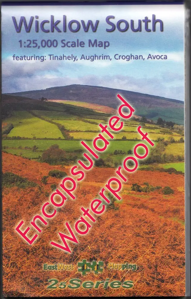
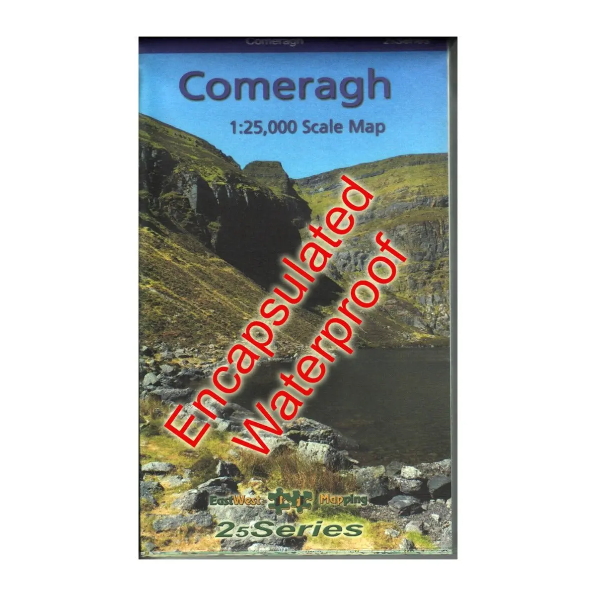
- Also available in standard folded paper and laminated waterproof versions
$5.48
Original: $18.28
-70%Mweelrea & The Reek 1:25k Map—
$18.28
$5.48Description
The Mweelrea & The Reek 1:25,000 Map from East West Mapping is a definitive, detailed map covering Mweelrea and the region from Killary Harbour to Clew Bay, including the Sheaffrey Hills and The Reek (Croagh Patrick).
Features
- Detailed map at 1:25,000 scale
- 5 metre contour interval for fine navigation
- Signposted walking trails depicted
- Printed on good quality Progeo 90gsm map paper
- Sold as a flat, unfolded map suited for wall display
- Also available in standard folded paper and laminated waterproof versions