🎉 Up to 70% Off Selected ItemsShop Sale
1 / 3
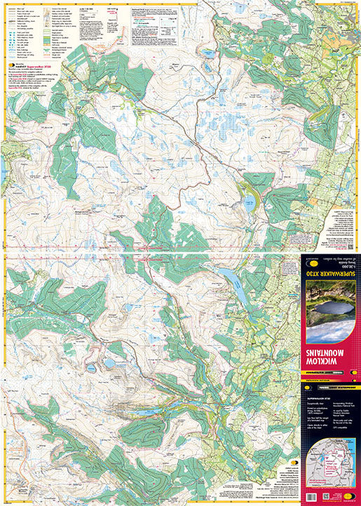
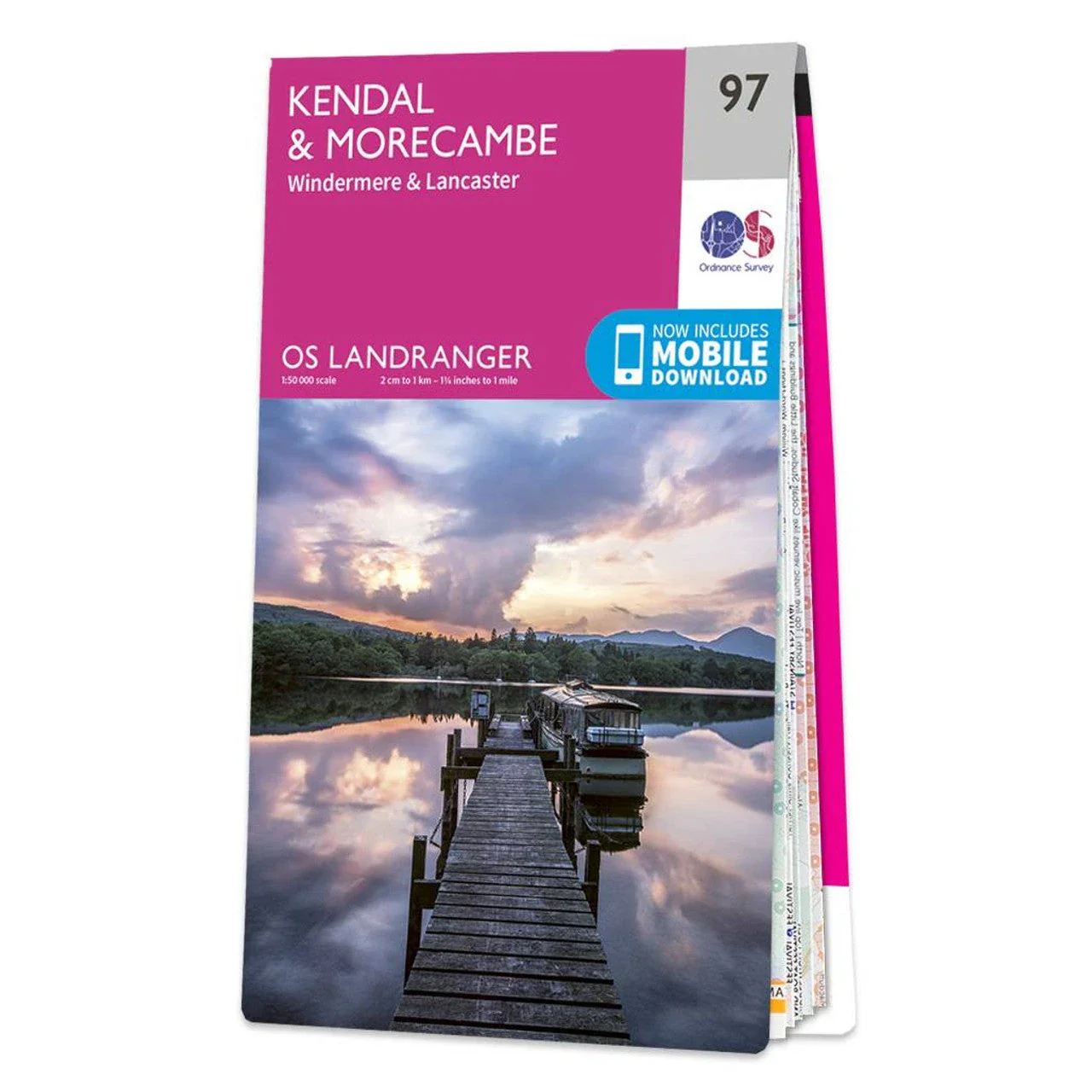
OSBG Landranger Map 97 - Kendal & Morecambe
Discover Kendal & Morecambe with the OSGB Map, offering comprehensive coverage at a 1:50 000 scale for hikers, cyclists, and drivers.
Features
- Comprehensive Coverage: Detailed mapping of Kendal, Morecambe, Windermere, and Lancaster.
- Scale: 1:50 000 scale (every 2cm equals 1km).
- Durable: High-quality paper for durability in various weather conditions.
- Tourist Information: Includes footpaths, rights of way, and tourist spots.
- Versatile Use: Ideal for hiking, cycling tours, and driving holidays.
- User-friendly Design: Clear and easy-to-read format.
- Updated Data: Includes the latest geographical data for accuracy.
$4.46
Original: $14.85
-70%OSBG Landranger Map 97 - Kendal & Morecambe—
$14.85
$4.46Description
Discover Kendal & Morecambe with the OSGB Map, offering comprehensive coverage at a 1:50 000 scale for hikers, cyclists, and drivers.
Features
- Comprehensive Coverage: Detailed mapping of Kendal, Morecambe, Windermere, and Lancaster.
- Scale: 1:50 000 scale (every 2cm equals 1km).
- Durable: High-quality paper for durability in various weather conditions.
- Tourist Information: Includes footpaths, rights of way, and tourist spots.
- Versatile Use: Ideal for hiking, cycling tours, and driving holidays.
- User-friendly Design: Clear and easy-to-read format.
- Updated Data: Includes the latest geographical data for accuracy.