🎉 Up to 70% Off Selected ItemsShop Sale
1 / 2
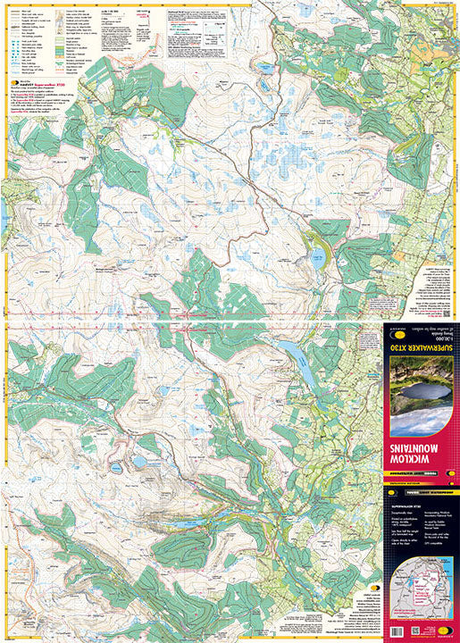
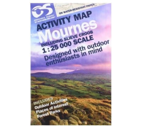
OSNI Mournes Activity Map 1:25K
Explore the Mournes with the OSNI Mournes Activity Map 1:25K, a detailed and durable map designed for outdoor enthusiasts seeking adventure in Northern Ireland's most scenic landscapes.
Features:
- Detailed 1:25,000 Scale: Provides an in-depth view of the Mournes, perfect for various outdoor activities.
- Water-Resistant Paper: Ensures durability and usability in all weather conditions.
- Landmark Highlights: Includes the Mourne Wall, connecting 15 mountain summits, and other famous routes like the Brandy Pad.
- Nature Reserves & Parks: Covers Slieve Croob, Murlough Nature Reserve, and Castlewellan Forest Park.
- Local Amenities: Identifies filling stations, Mourne Rambler bus stops, and other essential services.
- Points of Interest: Marks significant landmarks, outdoor activity spots, and scenic viewpoints.
- Comprehensive Guide: Suitable for climbing, rambling, or leisurely exploring the natural beauty of the Mournes.
$30.86
OSNI Mournes Activity Map 1:25K—
$30.86
Description
Explore the Mournes with the OSNI Mournes Activity Map 1:25K, a detailed and durable map designed for outdoor enthusiasts seeking adventure in Northern Ireland's most scenic landscapes.
Features:
- Detailed 1:25,000 Scale: Provides an in-depth view of the Mournes, perfect for various outdoor activities.
- Water-Resistant Paper: Ensures durability and usability in all weather conditions.
- Landmark Highlights: Includes the Mourne Wall, connecting 15 mountain summits, and other famous routes like the Brandy Pad.
- Nature Reserves & Parks: Covers Slieve Croob, Murlough Nature Reserve, and Castlewellan Forest Park.
- Local Amenities: Identifies filling stations, Mourne Rambler bus stops, and other essential services.
- Points of Interest: Marks significant landmarks, outdoor activity spots, and scenic viewpoints.
- Comprehensive Guide: Suitable for climbing, rambling, or leisurely exploring the natural beauty of the Mournes.