🎉 Up to 70% Off Selected ItemsShop Sale
1 / 2
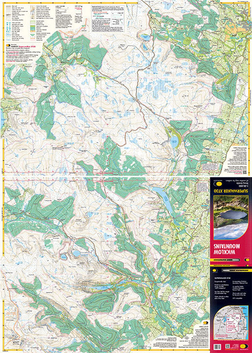
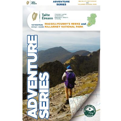
OSI Adventure Series 1:25K Map - Macgillycuddy Reeks
Explore the breathtaking landscapes of County Kerry with the OSI Adventure Series 1:25K Map - Macgillycuddy Reeks, printed on water-resistant paper.
Features:
- Detailed topographic map of Macgillycuddy Reeks in County Kerry
- Printed on durable, water-resistant paper
- Enlarged area showing Carrauntoohil, Ireland’s highest peak, at 1:12,500 scale
- Coverage includes Killarney Town, Killarney National Park, and major roads (N22, N71, N72, R568)
- Marked summits including Carrauntoohil, Beenkeragh, Caher, Knocknapeasta, The Bones Peak, and the Big Gun
- Detailed representation of lakes such as Lough Leane, Muckross Lake, Lough Caragh, Lough Acoose, Lough Fadda, and Lough Beg
- Rivers and streams like River Flesk, River Laune, and River Gearhameen are highlighted
- Viewpoints and popular tourist routes such as The Kerry Way, National Park Loops, Hag’s Glen Loop, and the Ring of Kerry Cycle Route
- Highlights scenic areas and outdoor mountain pursuits, perfect for hiking and exploring
$4.80
Original: $16.00
-70%OSI Adventure Series 1:25K Map - Macgillycuddy Reeks—
$16.00
$4.80Description
Explore the breathtaking landscapes of County Kerry with the OSI Adventure Series 1:25K Map - Macgillycuddy Reeks, printed on water-resistant paper.
Features:
- Detailed topographic map of Macgillycuddy Reeks in County Kerry
- Printed on durable, water-resistant paper
- Enlarged area showing Carrauntoohil, Ireland’s highest peak, at 1:12,500 scale
- Coverage includes Killarney Town, Killarney National Park, and major roads (N22, N71, N72, R568)
- Marked summits including Carrauntoohil, Beenkeragh, Caher, Knocknapeasta, The Bones Peak, and the Big Gun
- Detailed representation of lakes such as Lough Leane, Muckross Lake, Lough Caragh, Lough Acoose, Lough Fadda, and Lough Beg
- Rivers and streams like River Flesk, River Laune, and River Gearhameen are highlighted
- Viewpoints and popular tourist routes such as The Kerry Way, National Park Loops, Hag’s Glen Loop, and the Ring of Kerry Cycle Route
- Highlights scenic areas and outdoor mountain pursuits, perfect for hiking and exploring