🎉 Up to 70% Off Selected ItemsShop Sale
1 / 2
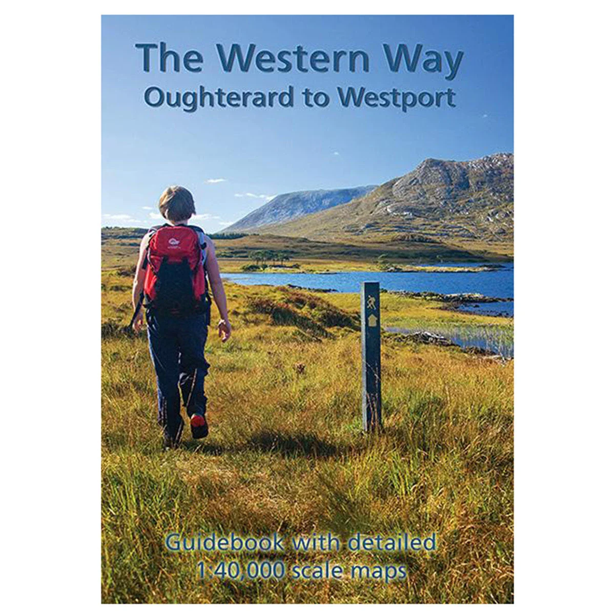
The Western Way 1:40k Map
The Western Way 1:40,000 Map from East West Mapping is the definitive guidebook for the most popular long-distance walking route in the West of Ireland, covering the southern part from Oughterard to Westport.
Features
- Detailed 32-page booklet
- Full colour 1:40,000 scale strip maps
- Packaged in a plastic wallet
- 12 map sections plus an additional map for the Killary ‘Famine Road’ walk
- Information on local and natural history, routefinding, and services
- Second edition, published in 2021
$3.77
Original: $12.57
-70%The Western Way 1:40k Map—
$12.57
$3.77Description
The Western Way 1:40,000 Map from East West Mapping is the definitive guidebook for the most popular long-distance walking route in the West of Ireland, covering the southern part from Oughterard to Westport.
Features
- Detailed 32-page booklet
- Full colour 1:40,000 scale strip maps
- Packaged in a plastic wallet
- 12 map sections plus an additional map for the Killary ‘Famine Road’ walk
- Information on local and natural history, routefinding, and services
- Second edition, published in 2021