🎉 Up to 70% Off Selected ItemsShop Sale
1 / 3
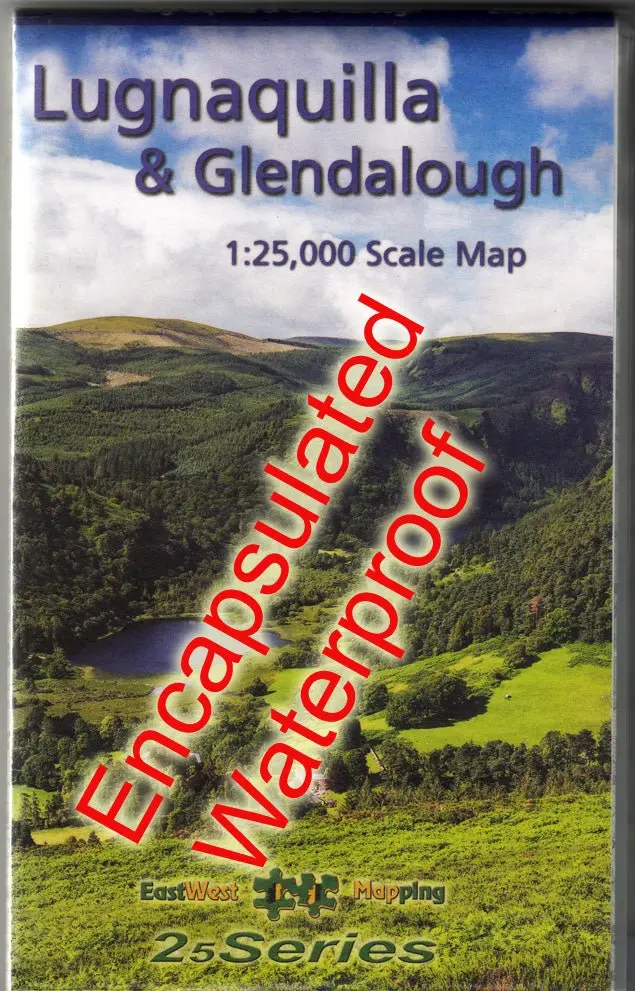
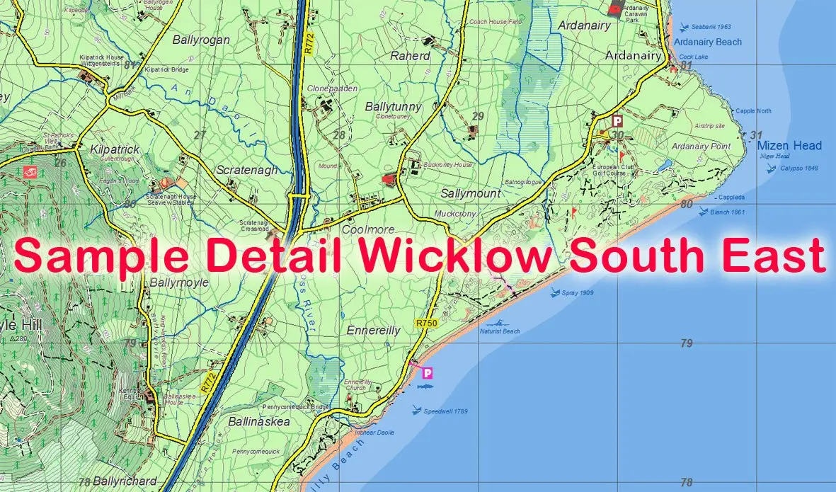
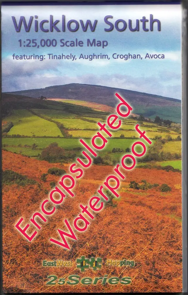
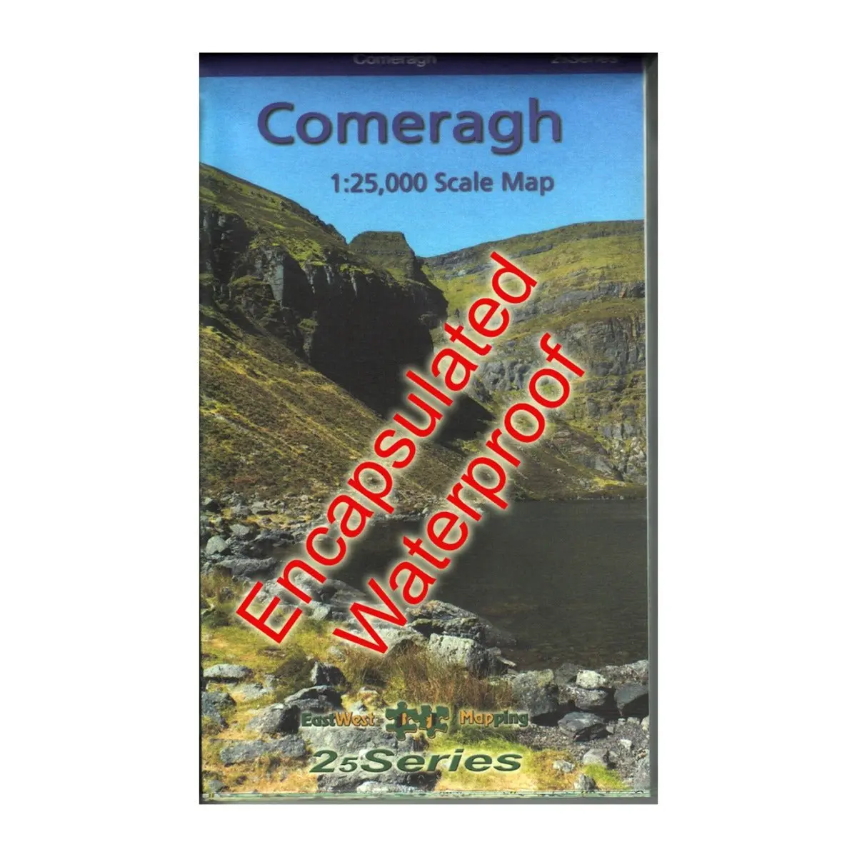
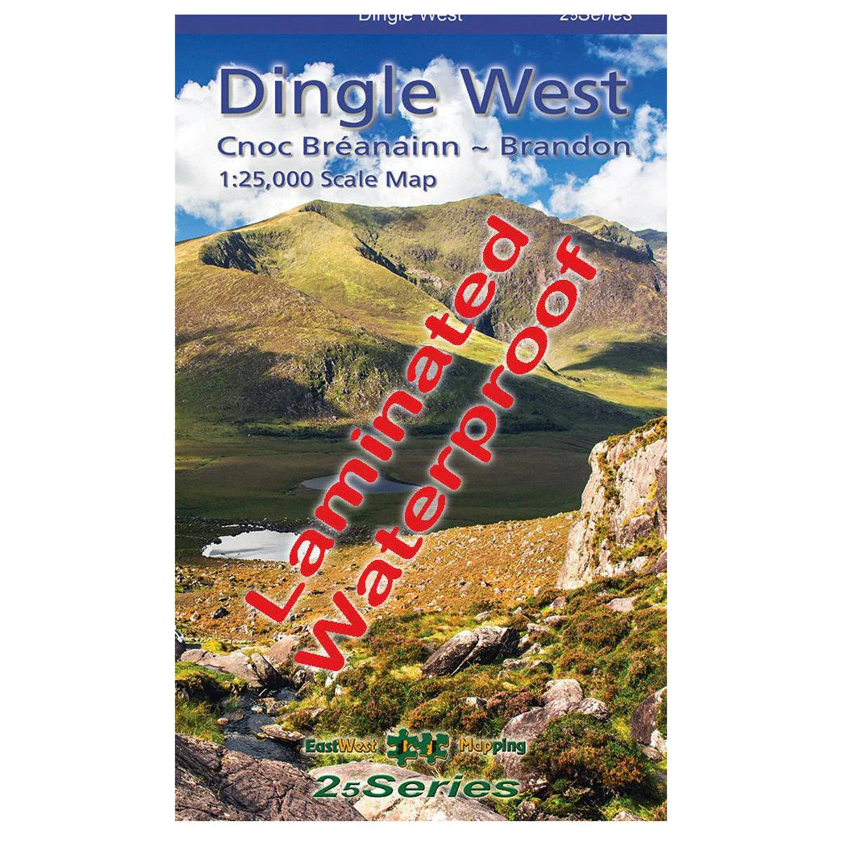
Waterproof Dingle West 1:25k Map
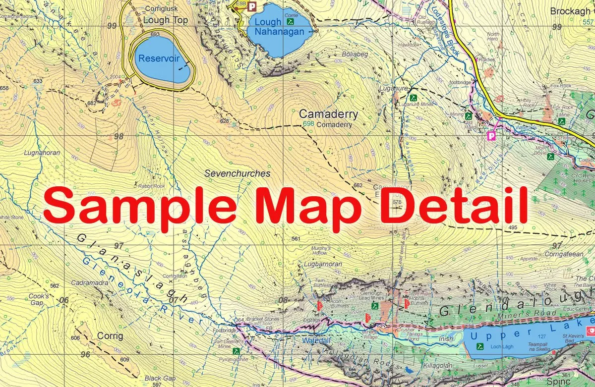
Explore the western end of the Dingle peninsula with this detailed, waterproof, laminated map at a 1:25,000 scale.
Features
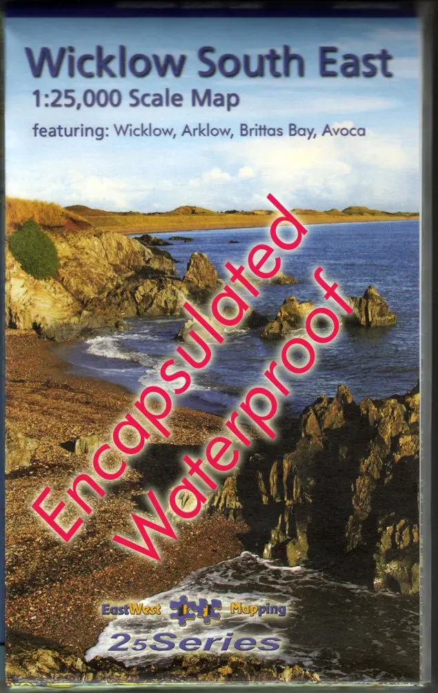
- Waterproof and laminated for durability
- Covers Dunquin to Conor Pass, including Mount Brandon
- 5 metre contour interval for precise navigation
- Signposted walking trails depicted
- Detailed topographic information with placenames and heritage sites
Explore the western end of the Dingle peninsula with this detailed, waterproof, laminated map at a 1:25,000 scale.
Features
- Waterproof and laminated for durability
- Covers Dunquin to Conor Pass, including Mount Brandon
- 5 metre contour interval for precise navigation
- Signposted walking trails depicted
- Detailed topographic information with placenames and heritage sites
$8.23
Original: $27.43
-70%Waterproof Dingle West 1:25k Map—
$27.43
$8.23Description
Explore the western end of the Dingle peninsula with this detailed, waterproof, laminated map at a 1:25,000 scale.
Features
- Waterproof and laminated for durability
- Covers Dunquin to Conor Pass, including Mount Brandon
- 5 metre contour interval for precise navigation
- Signposted walking trails depicted
- Detailed topographic information with placenames and heritage sites